Tag Archive for: steed

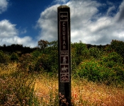
Caspers Wilderness Park

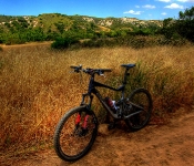
Finally, my first USA ride for 2011. After waiting 4 weeks for a repair, I finally hit the road again. First stop was Caspers Wilderness Park in San Juan Capistrano, California.
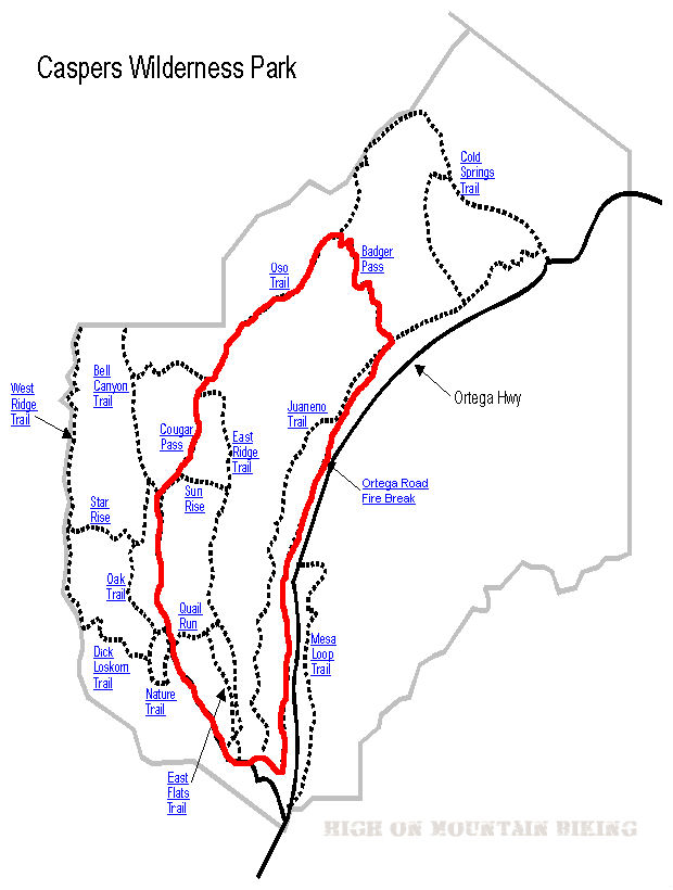
Caspers Wilderness Park Map

.

Trail Stats & Information


Nearby Town : San Juan Capistrano
Length: 9 miles
Trail Type: Loop
Skill Level: [what the books say] no info
Skill Level: [My Opinion] Technically moderate. Physically  demanding
Duration
: My time was 02:23:53
Elev Gain
: 1,166 feet
Top Elev : 1,471 feet
Min. Elev : 371 feet

.

Book Description

I could not find any Mtb Trail books describing the Caspers Wilderness Park Trails, so the below descriptions are based on my personal experience :

>> The Trails I connected were : Bell Canyon Trail, onto Cougar Pass Trail, onto Oso Trail, down Badger Trail and back along the San Juan Creek Trail.
All the trails I took were really fire roads, except Badger which was singletrack. The Bell Canyon Trail is pretty flat and easy going, but once you veer onto  Cougar Pass Trail, it’s a long brutal climb until you reach Badger, then it’s a mental but fun downhill singletrack. Once you’ve recovered from the downhill buzz, it’s a flat but rocky and sandy ride back to the Trailhead along the San Juan Creek Trail.


.

My Experience

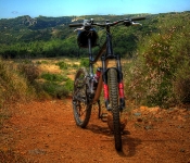
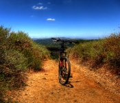
I really under estimated this loop, I don’t know why, but I thought it was gonna be an easy relaxing ride, boy was I wrong. The first 10 minutes on the Bell Canyon Trail were what I was expecting, a nice flat easy scenic trail. The trouble started on Cougar, where it starts climbing. The first climb is short but bitter, and I actually made it all the way without stopping.. but when I reached the top I was knackered, and had to sit down for 5 minutes. It wasn’t just the climb, it was the sun and lack of any cover. Once I got back on my steed things went fine until the REAL climb started on the Oso Trail. From here I would guess it’s about a solid 3 mile climb, technically very easy, however physically very demanding!. I ended up walking  quite a bit on this climb. It was HOT! with no cover or shade at all.
To be honest, I had planned to continue to the Cold Springs Trail, and head down that one, but I was burnt out by the time I reached Badger, and although I cannot speak for the Cold Springs Trail, the Badger looked absolutely mental, sweet singletrack heading straight down.
I rested for 10 min. at a lean to at the top of Badger, before heading down. The trail is extremely fast, and certain sections are loose baby heads, and I nearly took a dive, but luckily I made it down in one piece.

Conclusion

All the Trails I did are easy to follow, and the free map from the rangers office is adequate to use. It gets really hot here, so take some sun screen and plenty of fluids.  It’s a long and tiring climb, but the Badger makes it worth your while. Take it easy on the Badger, it’s very fast and there are lots of loose rocks and huge thistles actually on the path. For a quick exit back to the Trailhead you could follow the road, I followed the San Juan Creek Trail back, but it was not much fun at all.


Other Info:

Traffic on Trail : No one, but it can get very busy during weekends
Wild Life : Too tired to notice any wildlife. [ Remember you are in Big Cat Country ]
Scenery : Great scenery
Getting There : from San Juan Capistrano take the Ortega Highway to Caspers Wilderness Park
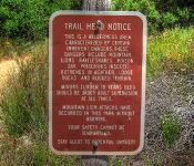
Other : You are in Big Cat Country, both mountain bikers and hikers have been killed here [ read more ]


My Trail Rating : 6.5 / 10 

.


My first time riding in the Bozeman & Big Sky area. Arrived on another glorious sunny day, set up camp and headed straight to the bike shop for a map and advice. There are plenty of trails to choose from in this area, but I quickly opted for the Bangtail Divide Trail.
So, did this first Bozeman trail impress me? or was it a big disappointment?

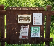
Bangtail divide Trail

Trail Stats & Information

Nearby City: Bozeman

Length: 23.8 miles

Trail Type: Point to Point with shuttle or loop [ for loop add 8 miles to total length ]

Skill Level: Aerobically: strenuous; Technically: easy

Duration: 4-6 hours

Trailhead Elev: 5,560 feet

Top Elev: 7,950 feet

Book Description

A relatively new trail to the area, the Baingtail Divide trail was completed in 2003. The trail spans from the Brackett Creek Trailhead to Stone Creek for a total of approximately 23.8 miles. The trail is well built and hardly technical, but due to the length, is considered an intermediate trail.
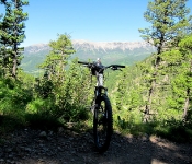
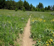
Built with bikers in mind, the trail has excellent descents on both ends of the trail with a couple big grassy meadows that provide a great view of several mountain ranges to include the Briders, Crazies, Absaroka, Gallatin, and Madison.
There are several different ways to ride the trail. You can car shuttle from one end to the other, you can ride it as a loop if you add about 7 or 8 miles of highway riding, or you can ride it in sections by using Olson Road which puts you onto the southern part of the northern 1/3 of the trail. The most common choice is to ride from the southern to north (Stone Creek to Brackett Creek)

My Experience

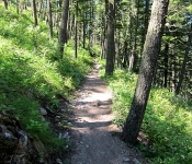
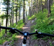
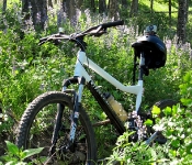
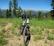
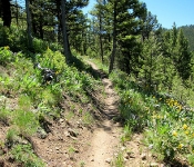
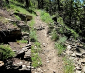
Trailhead is easy to find, the trail is well marked. There is a lot of climbing on this trail, but it is definitely doable, just put your steed into low gear, switch off , and enjoy the climb. This trail is in my books technically easy, but it is a long ride and a long walk out if anything goes wrong, so go well prepared. I did this trail as a P2P (point 2 point) starting at Stone Creek and finishing at Bracket Creek, however this trail can be done from both directions.

Conclusion

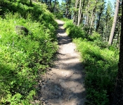
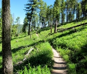
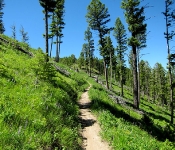
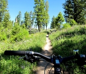
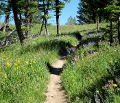
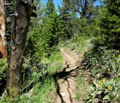
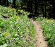
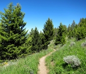
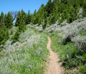
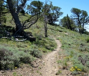
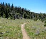
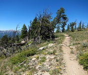
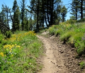
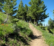
Oooohhh yes!! this trail is what mountain biking is about, not too strenuous, 23 miles of sweet singletrack through stunning scenery. The trail is well maintained and well marked. The scenery is fantastic, and it came with the smell of fresh pine and 1000’s of wild flowers. The 2-3 hour total climb is rewarded with a fantastic smooth downhill with in most places more than enough visibility to open up to a fair speed.. Don’t open up too much, cos there are a few very tight switchbacks that appear out of nowhere, and some have some pretty brutal drops that you definitely don’t want to hit going too fast.. If this trail doesn’t put a smile on your chops, then nothing will!

All in all, the Bangtail Divide Trail is a definite “Must Ride Trail”.. I did this one in 4 hours 29 min. and I enjoyed every second of both the riding and the scenery.

Other Info:

Traffic on Trail : 5 mountain bikers, one jogger, one hiker

Wild Life : I did not see anything

Scenery : 23 miles of scenery

Other : Take extra fluids, don’t forget the bug repellent there are ( were) lots of pesky horseflies.

My Trail Rating : 9.5 / 10


.

.