Tag Archive for: amp

Slickrock Trail

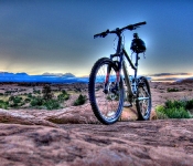
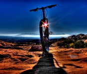
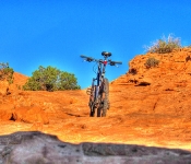
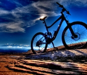
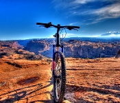
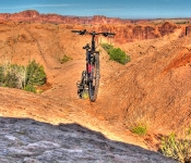
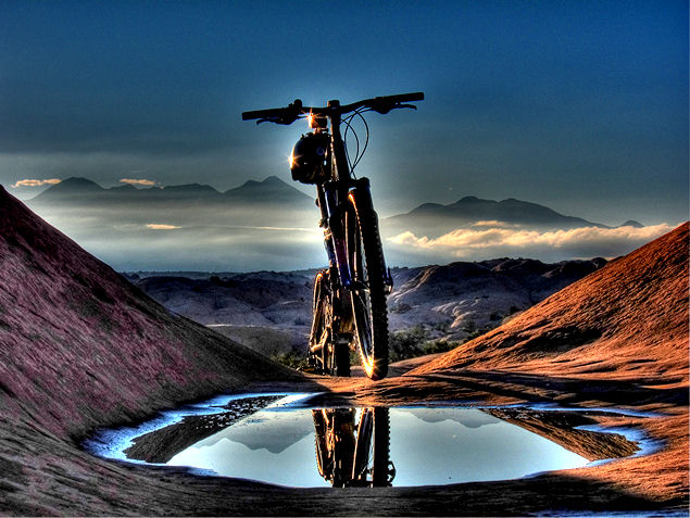
The world famous Slickrock Trail in Moab Utah

.

The Slickrock Trail is THE Trail that put Moab on the map, and is probably the worlds most famous trail. Mountain Bikers from around the globe travel to Moab to ride the Slickrock Trail.
There is no doubt that the Slickrock Trail is as fantastic as it is unique, but it is a trail that I have done numerous times, and I never get very exited about the thought of riding the Slickrock Trail. The crowds on this trail can be unbearable, and on a busy day, there are actual waiting lines in front of certain sections of this trail.

So, does the Slickrock Trail live up to it’s world famous reputation?… read on….

.
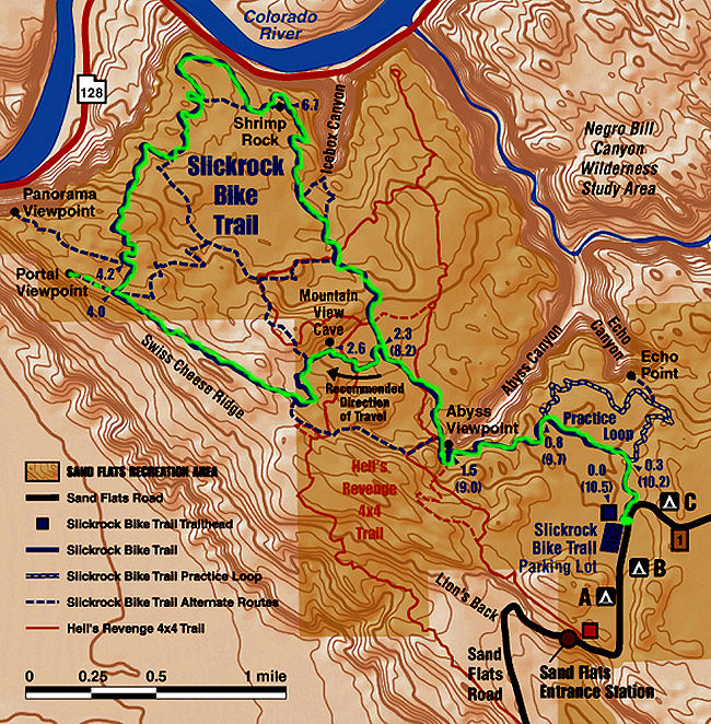
Slickrock Trail Map
.

Trail Stats & Information Amasa Back

Nearby Town: Moab
Length: 9.85 miles
Trail Type: Lollipop
Skill Level: [what the books say] Technically very difficult to extremely dangerous. Physically very difficult to abusive
Skill Level: [My Opinion] Technically moderate. Physically demanding
Duration
: Book say’s 2-3 hours my time 2.45 hours
Trailhead Elev
: 4,575 feet
Top Elev: 4,802  feet

.

Book Description

This trail is VERY difficult and dangerous. Do not ride alone, but do not bring along you family, your girlfriend, or anyone that you love who is not an advanced rider. Despite the fact that the trail is shown on the Discovery Channel for kids to drool over, it is extremely dangerous and parents should exercise extreme caution with children under 18 (or over) who want to ride here. You could get them into serious trouble. The Slickrock Trail is VERY well marked with painted white lines like the middle of a highway, and there are yellow caution markers and black diamonds to warn you of deadly sections ahead. Be sure to watch for these warnings after you hit the main loop at mile 2.5. Hills on the trail are short, but grueling and very steep. If you let you momentum carry you it could get you into trouble on twisty sections with off-camber turns, but mostly it is momentum that will allow you to ride up the really steep stuff. Traction is fantastic, except when wet or icy. Watch out for winter! Trail Surface: slickrock, obviously, with a painted white line guiding you into the most outrageous situations. At times it is like riding on the outside edge of a 300-foot high basketball.

.

My Experience

The first time ever did the Slickrock Trail was 4 years ago, I had just arrived in the USA, and did not realize just how popular this trail actually was. I arrived at the parking lot at about 11am on a Saturday, just to find the parking lot completely full, which meant that there were probably 100’s of riders on the Trail… not a good first impression for me, seeing as I’m an unsociable bastard!!

Now whenever I do the Slickrock Trail I leave at the crack of dawn on a weekday. This time around I was at the trailhead at 7am.. at an empty parking area!!.

Having the Slickrock Trail to yourself as the sun comes up is just a fantastic experience, and I was loving every second of it. It’s probably ‘cos I’m getting older, but it seems like the trail gets more strenuous each year, but because it’s such a fantastic trail you tend to forget you are busting your lungs.
For a fantastic 2.45 hours I did not see a single person on the trail, the first people  I saw was just 10 min. the trailhead, just   starting the ride.  

Conclusion

You can love the Slickrock or you can hate the Slickrock, and it will be your timing that decides which one it will be. The first time I hated it, it was like Disneyland . But when planned right ( if possible) the Slickrock Trail is without doubt an absolute Gem of a trail, and it deserves to be one of the worlds most famous mtb trail.

Other Info:

Traffic on Trail : On this early ride I had the trail to myself. However this trail can be a zoo
Wild Life : Definitely don’t need it on this scenic trail
Scenery : Absolutely Fantastic Moab Scenery.
Other : If possible do an early weekday ride. On weekends / holidays the trail can be VERY busy.

My Trail Rating : 9.5 / 10 [ if timed well ]

.

Moab Rim CamparkThis Slickrock Trail review is proudly sponsored by :

Moab Rim Campark

At Moab Rim Campark mountain bikers will definitely feel at home among other mountain bikers at this Mountain Biker Friendly Campgroud.
Bike wash, grassy shaded tent sites with stunning views, Full hook ups, semi hook ups, cabins, group shelters, sheltered areas to tinker on the bikes, and lots more.

The Slickrock Trail is just a 6 min. drive from your campsite.
Moab Rim Campsite has been recommended by “Mountain Bike Mayhem” 4 years running.

Mountain Bikers get 10% discount, just bring your bike(s) and mention MOUNTAIN BIKE MAYHEM

For more info vist : Moab Rim Campark

.


.

.

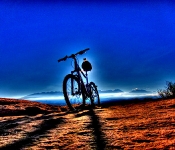
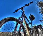
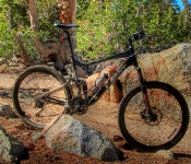
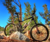
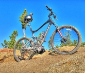
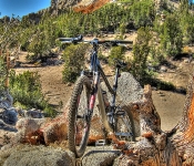
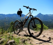
Giant HDR

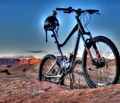
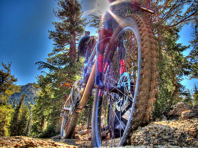
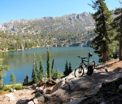
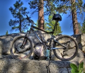
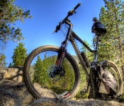
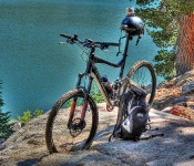
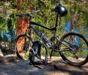
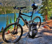
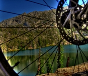
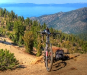
Giant at Star Lake getting ready for Freel Pass

.

A few days a did the Heavenly Valley from Stagecoach to Armstrong Pass, it was a slaughter, but the downhill section from Freel Pass all the way down Armstrong was probably the best ride / section I have ever done.
I did not want to leave Lake Tahoe without enjoying this section one more time. However, there was no way I wanted to get slaughtered again on the Stagecoach to Freel Pass section, so I decided on a different route that was hopefully gonna be slightly, or even better a hell of a lot easier, but with the same fun factor…
Cold Creek to Star Lake to Armstrong Pass down Corral Trail.

Did I succeed?

cold creek, star lake, armstrong and corral Trail

Cold creek, Star Lake, Armstrong Pass and Corral Trail

.

Trail Stats & Information

Nearby City: South Lake Tahoe

Length: 21.01 total miles

Trail Type: Point to Point ( for loop add about 3 miles )

Skill Level: [ What the books say ] Aerobically: strenuous. Technical : difficult

Skill Level: [ My opinion ] Aerobically: strenuous. Technical : moderate

Duration: 4 – 6 hours [ my time ] 7.05 hours

Trailhead Elev: 6,500 feet

Top Elev: 9,500 feet

Book Description

This is a self put together ride connecting various trails, below a short description of each individual trail :

  • Cold Creek : The lower Cold Creek Trail is a popular and easily accessible ride out of South Lake Tahoe. It begins with a ride up the graded High Meadow Road. After less than 2 miles, the loop segment crosses Cold Creek and heads downstream on smooth,wellpacked singletrack. Real hammerheads can continue up the painfully steep climb to Star Lake. This ride makes a nice side trip off the Power Line Trail.
  • Star Lake : Very steep and strenuous climb from High Meadow Road or Cold Creek Trail to Star Lake. Be prepared to walk a lot on this trail. Star lake is a beautiful place to rest and eat before heading up to Freel Pass
  • Star Lake to Freel Pass : The climb continues, however it’s not as bad as the previous grunt and it’s more scenic, it should take between 40 – 60 min. to reach Freel Pass
  • Freel Pass to Armstrong Pass and down the Armstrong Connector Trail : Spend 15 min. at Freel Pass, enjoy the superb scenery, test your brakes, and make sure you don’t have any loose parts on your steed. The coming 1.5 hours is gonna be one of the best rides imaginable. Do not admire the scenery, just keep your eyes on the trail. The “Connector” is 100% fun with very little margin for error, short section but unique… very unique.
  • Corral Trail : This trail is a FFF Trail “Fun” Fast” and “Furious”… this is a trail gives you the feeling that you are the main character in an out of control video game… Not to be missed


My Experience

Well to honest, from Cold Creek to Freel Pass was just as brutal as the Heavenly Valley Stagecoach to Freel Pass section was. The ride to Star Lake is very steep and physically extremely demanding, and I kept telling myself that it would be worth it. I spent 45 min. at Star Lake relaxing and stuffing myself with fluids and energy nibbles. From the Lake to Freel Pass it’s about another hour slog, the first section is pretty easy going, but the second section is strenuous.

Once at Freel Pass, you can rest assure that the real fun is about to start. 100% fun filled adrenalin rush that will last between 1.5 – 2 hours… that’s if you manage to stay on your steed. From Freel Pass all the way to the finishing point could well be the best ride in the USA.

For the real “Gear Grinders” among us, at the Armstrong Pass, you can continue on the TRT and head down Saxon Creek and Mr Toads Wild Ride.. Let’s put it this way, once you are at Freel Pass, no matter which way you choose, it’s gonna be a 10/10 ride.

Conclusion

Mountain Biking just doesn’t get better than this, the nice thing about this is that no matter how you approach it, you will have to work HARD for the reward, but the reward will make you forget everything… If there is any such thing as a “Natural High” then this is the place to be.

Other Info:

Traffic on Trail : 2 mountain bikers 1 hiker

Wild Life : Coyote and a (dead?) snake

Scenery : excellent scenery

Other : Take extra water, and energy nibbles. Be sensible, a trail is only fun if you make it to the end in one piece. This is definitely not a trail for novices

My Trail Rating : 10 / 10 with a Gold Star


.

.
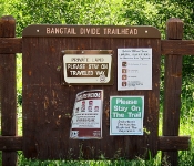
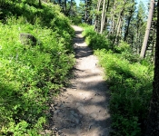
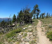
My first time riding in the Bozeman & Big Sky area. Arrived on another glorious sunny day, set up camp and headed straight to the bike shop for a map and advice. There are plenty of trails to choose from in this area, but I quickly opted for the Bangtail Divide Trail.
So, did this first Bozeman trail impress me? or was it a big disappointment?

Bangtail divide Trail

Trail Stats & Information

Nearby City: Bozeman

Length: 23.8 miles

Trail Type: Point to Point with shuttle or loop [ for loop add 8 miles to total length ]

Skill Level: Aerobically: strenuous; Technically: easy

Duration: 4-6 hours

Trailhead Elev: 5,560 feet

Top Elev: 7,950 feet

Book Description

A relatively new trail to the area, the Baingtail Divide trail was completed in 2003. The trail spans from the Brackett Creek Trailhead to Stone Creek for a total of approximately 23.8 miles. The trail is well built and hardly technical, but due to the length, is considered an intermediate trail.
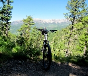
Built with bikers in mind, the trail has excellent descents on both ends of the trail with a couple big grassy meadows that provide a great view of several mountain ranges to include the Briders, Crazies, Absaroka, Gallatin, and Madison.
There are several different ways to ride the trail. You can car shuttle from one end to the other, you can ride it as a loop if you add about 7 or 8 miles of highway riding, or you can ride it in sections by using Olson Road which puts you onto the southern part of the northern 1/3 of the trail. The most common choice is to ride from the southern to north (Stone Creek to Brackett Creek)

My Experience

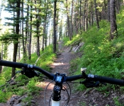
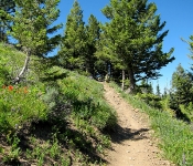
Trailhead is easy to find, the trail is well marked. There is a lot of climbing on this trail, but it is definitely doable, just put your steed into low gear, switch off , and enjoy the climb. This trail is in my books technically easy, but it is a long ride and a long walk out if anything goes wrong, so go well prepared. I did this trail as a P2P (point 2 point) starting at Stone Creek and finishing at Bracket Creek, however this trail can be done from both directions.

Conclusion

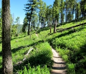
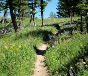
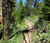
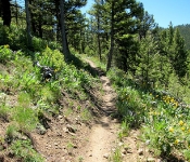
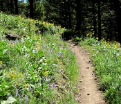
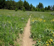
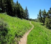
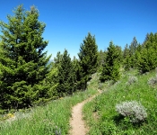
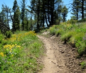
Oooohhh yes!! this trail is what mountain biking is about, not too strenuous, 23 miles of sweet singletrack through stunning scenery. The trail is well maintained and well marked. The scenery is fantastic, and it came with the smell of fresh pine and 1000’s of wild flowers. The 2-3 hour total climb is rewarded with a fantastic smooth downhill with in most places more than enough visibility to open up to a fair speed.. Don’t open up too much, cos there are a few very tight switchbacks that appear out of nowhere, and some have some pretty brutal drops that you definitely don’t want to hit going too fast.. If this trail doesn’t put a smile on your chops, then nothing will!

All in all, the Bangtail Divide Trail is a definite “Must Ride Trail”.. I did this one in 4 hours 29 min. and I enjoyed every second of both the riding and the scenery.

Other Info:

Traffic on Trail : 5 mountain bikers, one jogger, one hiker

Wild Life : I did not see anything

Scenery : 23 miles of scenery

Other : Take extra fluids, don’t forget the bug repellent there are ( were) lots of pesky horseflies.

My Trail Rating : 9.5 / 10


.

.