Tag Archive for: trailhead

Flat Pass Trail

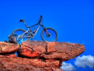
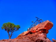
Flat Pass Trail aka Steel Bender - Moab Oct. 2011


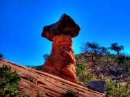
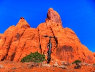
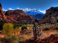
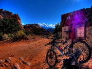
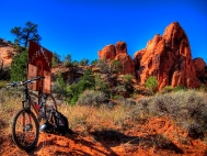
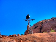
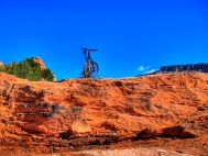
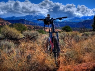
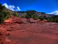
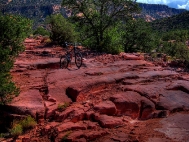
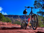
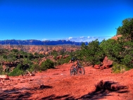
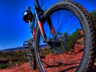
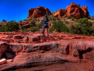
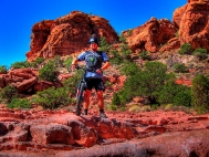
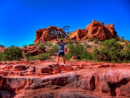
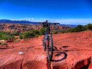
The Flat Pass trail is a fantastic trail, and chances are that if you can ride this trail on a week day, you will have the trail to yourself. Flat Pass Trail and Steel Bender are not really the same trail, Flat Pass is ideal for mountain bikers, and follows the Steel Bender that is the 4×4 trail, the only difference is, the Steel Bender is about 2 miles longer. For anyone planning a trip to Moab to Mountain Biking should definitely put Flat Pass Trail on the list of “Must do” trails.
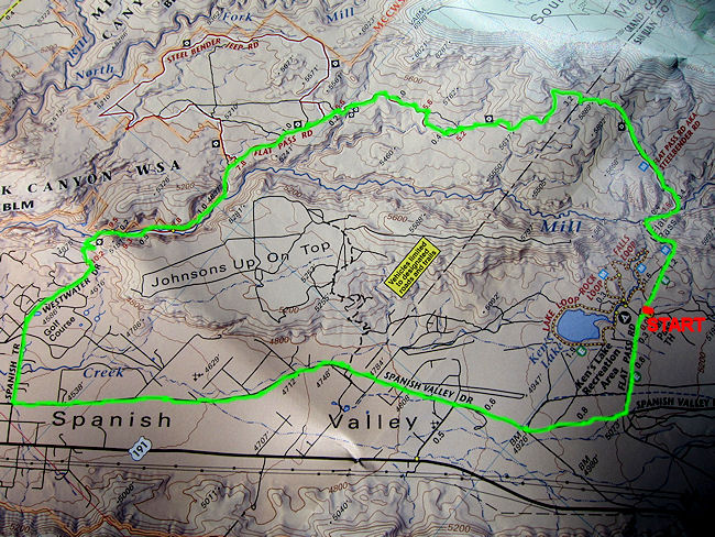
 

Flat Pass Trail Map


  Trail Stats & Information

Nearby Town: Moab Length: Guide book states 15.5 total miles, I myself clocked 19.4 miles from Kens Lake Trailhead and 21.76 miles from Moab Rim Campark

Trail Type: Loop [ out & back is an option ]

Skill Level: [what the books say] Technically difficult to extreme. Physically moderate to difficult.

Skill Level: [My Opinion] Technically moderate to challenging. Physically moderate

Duration: Book say’s 2-4 hours my time 5.56 hours

Trailhead Elev: 5,200 feet

Top Elev: 6,000 feet


Book Description

The ride is highlighted by vandalized petroglyphs, rolling hills with sever transitions at the bottom, and some very beautiful views of the Moab Valley. There are a couple of spots on the trail that can sneak up on you, so keep your eyes on the trail and give blind turns and dips a lot of respect. I you enjoy technical challenge, deep stream crossings, transitions, vertical ridges, gaps and pits, knee-high ledges, rollies, plateaus, babyheads, death-grip-jackhammer stuff into deep sand, weird sliced-bread bedrock, and a ride that can be done form Moab, the Flat Pass is the trail. Trail Surface: Bedrock, loose rock, sand and babyheads on a technical 4WD track, with substantial creek crossings.


My Experience

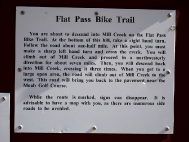
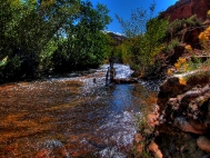
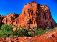
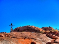
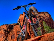
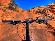
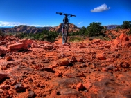
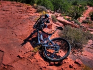
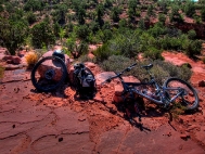
I had heard a lot of good things about the Flat Pass Trail, and it has been on my to do list for a few years, the only reason I kept postponing this ride was because of the high amount of “Road Miles” needed to loop this trail. The trailhead is easy to find, just head for Kens Lake. The trails starts with a easy climb on a gravel road to the Flat Pass. At this point you head down, and have to make a sharp left and cross the creek, or just do as I did, and miss the turn-off and carry on up a dead end trail untill you realize it ain’t going anywhere, so you will have to turn around and back track. Once on the real trail, which is mostly slickrock, the real enjoyment begins. The trail climbs moderately with plenty of obstacles to keep you busy, and it’s actual a fun climb. The fun continues until you top out, then you get some really fun sections of hard packed sand.. open up here and ride like a bat out of hell, until you hit the rocky downhill section. Technically quite challenging, but nothing too serious, it’s just a fun bumpy downhill, choose your path, and stick to it. There are a few high drop-offs, but I always managed to find a safe way down.. All in all the trail section of the Flat Pass Trail is fantastic, with a high fun factor, and offers stunning Moab scenery. This trail does not attract the crowds like numerous other Moab Trails does.  


Conclusion

This time I started from Moab Rim Campark and looped the whole trail in just under 22 miles. The last time I started at Kens Lake Trailhead, and clocked just under 21 miles. The only downside of the Flat Pass trail is about 50% is on the road. Once you are actually off the road and on the trail, it is absolutely fantastic, and any mountain biker is guaranteed to have a fantastic time. The trail is easy to follow, but you will definitely need a map if you have never done this trail before, as there are a few other nameless trails branching off. There are in total 4 creek crossings on this trail, and my advice is to get your feet wet, and carry your steed across. I did not do this, and after each creek crossing there is a foot of sand and your rear derailleur really gets gunked up. Once on the trail, try and avoid the far sides of the trail, even if it seems the perfect line, try and stay within 2 feet from the sides. I learned the hard way, and had a total of 7 punctures from thorns. For anyone with a bit of extra time and energy, I would suggest riding Flat Pass as an Out and Back, it would shave about 5 miles off the total milage, which means it would be about 16 miles of fantastic pure mountain biking miles.  


Other Info:

Traffic on Trail : none, I had the trail to myself.

Wild Life : none

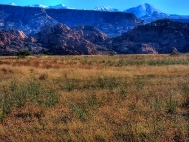
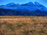
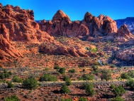
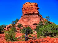
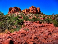
Scenery : Absolutely Fantastic Moab Scenery

Other : Carry a proper map, and like all Moab trails a good puncture outfit and extra inner-tubes, and carry your bike across the creek, the sand will gunk your derailleur.  


My Trail Rating : 8.5 / 10 [ As a P2P I would give this trail a 10/10 ]


Moab Rim CamparkThis Flat Pass Trail review is proudly sponsored by :

Moab Rim Campark

At Moab Rim Campark mountain bikers will definitely feel at home among other mountain bikers at this Mountain Biker Friendly Campgroud.
Bike wash, grassy shaded tent sites with stunning views, Full hook ups, semi hook ups, cabins, group shelters, sheltered areas to tinker on the bikes, and lots more.

The Flat Pass Trail can be looped from your campsite.
Moab Rim Campsite has been recommended by “Mountain Bike Mayhem” 5 years running.

Mountain Bikers get 10% discount, just bring your bike(s) and mention MOUNTAIN BIKE MAYHEM

For more info vist : Moab Rim Campark


Trail Videos taken on the Flat Pass Trail. Oct. 2011  


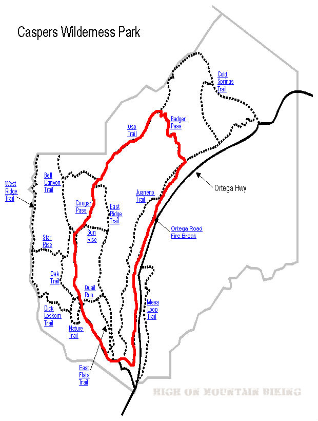
Caspers Wilderness Park

Finally, my first USA ride for 2011. After waiting 4 weeks for a repair, I finally hit the road again. First stop was Caspers Wilderness Park in San Juan Capistrano, California.

Caspers Wilderness Park Map

.

Trail Stats & Information


Nearby Town : San Juan Capistrano
Length: 9 miles
Trail Type: Loop
Skill Level: [what the books say] no info
Skill Level: [My Opinion] Technically moderate. Physically  demanding
Duration
: My time was 02:23:53
Elev Gain
: 1,166 feet
Top Elev : 1,471 feet
Min. Elev : 371 feet

.

Book Description

I could not find any Mtb Trail books describing the Caspers Wilderness Park Trails, so the below descriptions are based on my personal experience :

>> The Trails I connected were : Bell Canyon Trail, onto Cougar Pass Trail, onto Oso Trail, down Badger Trail and back along the San Juan Creek Trail.
All the trails I took were really fire roads, except Badger which was singletrack. The Bell Canyon Trail is pretty flat and easy going, but once you veer onto  Cougar Pass Trail, it’s a long brutal climb until you reach Badger, then it’s a mental but fun downhill singletrack. Once you’ve recovered from the downhill buzz, it’s a flat but rocky and sandy ride back to the Trailhead along the San Juan Creek Trail.


.

My Experience

I really under estimated this loop, I don’t know why, but I thought it was gonna be an easy relaxing ride, boy was I wrong. The first 10 minutes on the Bell Canyon Trail were what I was expecting, a nice flat easy scenic trail. The trouble started on Cougar, where it starts climbing. The first climb is short but bitter, and I actually made it all the way without stopping.. but when I reached the top I was knackered, and had to sit down for 5 minutes. It wasn’t just the climb, it was the sun and lack of any cover. Once I got back on my steed things went fine until the REAL climb started on the Oso Trail. From here I would guess it’s about a solid 3 mile climb, technically very easy, however physically very demanding!. I ended up walking  quite a bit on this climb. It was HOT! with no cover or shade at all.
To be honest, I had planned to continue to the Cold Springs Trail, and head down that one, but I was burnt out by the time I reached Badger, and although I cannot speak for the Cold Springs Trail, the Badger looked absolutely mental, sweet singletrack heading straight down.
I rested for 10 min. at a lean to at the top of Badger, before heading down. The trail is extremely fast, and certain sections are loose baby heads, and I nearly took a dive, but luckily I made it down in one piece.

Conclusion

All the Trails I did are easy to follow, and the free map from the rangers office is adequate to use. It gets really hot here, so take some sun screen and plenty of fluids.  It’s a long and tiring climb, but the Badger makes it worth your while. Take it easy on the Badger, it’s very fast and there are lots of loose rocks and huge thistles actually on the path. For a quick exit back to the Trailhead you could follow the road, I followed the San Juan Creek Trail back, but it was not much fun at all.


Other Info:

Traffic on Trail : No one, but it can get very busy during weekends
Wild Life : Too tired to notice any wildlife. [ Remember you are in Big Cat Country ]
Scenery : Great scenery
Getting There : from San Juan Capistrano take the Ortega Highway to Caspers Wilderness Park
Other : You are in Big Cat Country, both mountain bikers and hikers have been killed here [ read more ]


My Trail Rating : 6.5 / 10 

.


Hollenbeck Canyon

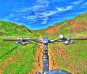
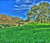
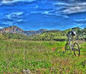
Hollenbeck Canyon offers fantastic and scenic trails for some fun mountain biking

.

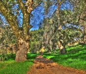
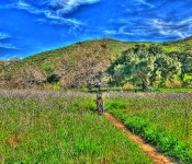
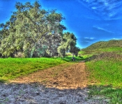
Hollenbeck Canyon near Jamul, and just 25 minutes east of San Diego offers some fantastic trails through stunning and unique scenery. A seasoned mtb’er can easily put together a fantastic 12-20 miles ( or more) ride, but just exploring all the paths, trails and tracks. From lush green meadows through fantastic shady oak groves to high and open trails with great scenery of the canyon and surroundings

Hollenbeck Canyon Trail Map.


Trail Stats & Information

Nearby Town : Jamul

Length: You decide : the trail I did was just under 10 miles

Trail Type: You decide

Skill Level: [what the books say] no info

Skill Level: [My Opinion] Technically easy. Physically moderate

Duration : My time was 02:07:34

 Elev Gain : 1,265 feet

Top Elev : 1,506 feet

Min. Elev : 761 feet

Book Description

I could not find any Mtb Trail books describing the Highline Trail, because it is not really an “official” trail, so the below descriptions are based on my personal experience :
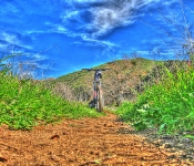
>> Hollenbeck Canyon offers some really nice trails, both singletrack and doubletrack among scenery that will come as a pleasant surprise. Lush green pastures, shady oak groves and open trails with great panoramic scenery. Their are tons of options for the mountain biker in the canyon, just explore all the trails and tracks for a great day of mountain biking.

.

My Experience

Hollenbeck Canyon came as a complete but pleasant surprise to me. The scenery from the trailhead is quite unique and different from what you might expect. I was lucky that I met 2 fellow mountain bikers at the trailhead, they had just returned from their ride, and I was able to get some very useful info on what trails to take. Even though it was January, it was hot!!, and I can only imagine how unbearable it would be in the summer.

The loop I did was very enjoyable and pretty easy going, even the climb was not too bad, but I did notice that I was drinking more than I normally do, due to the heat. The trails were compact dirt tracks, and pretty fast flowing through fantastic scenery. There are numerous very fast singletrack downhill sections, that require full concentration, because of some gnarly ruts and loose rocks on the trail.


Conclusion
Definitely worth riding, Hollenbeck Canyon offers some fantastic trails with unique scenery. Next time I’m in the area I will definitely spend more time exploring these trails.
.

Other Info:

Traffic on Trail : Although the trail head was fairly busy, I did not see many people on the trails

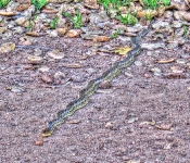
Wild Life : Snake and plenty of buzzards

Scenery : Great scenery, pretty unique for this area

Getting There : Hollenbeck Canyon Trailhead : the trailhead is just off Campo Rd ( CA94) on Honey Springs Rd

Other : Take lots of fluids, in January it was hot, so just imagine what the summers must be like.


My Trail Rating : 8 / 10

.


.