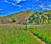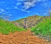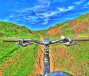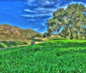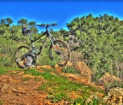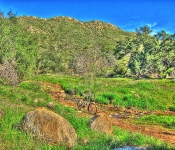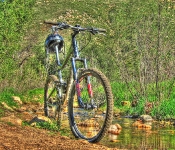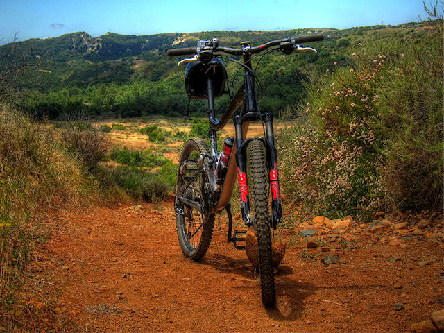
Caspers Wilderness Park

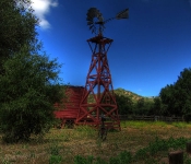
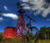
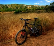
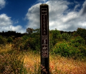
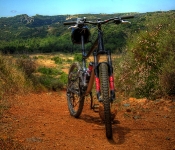
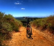
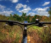
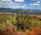
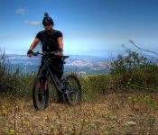
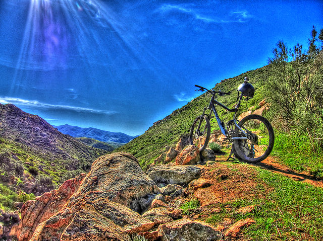
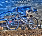
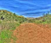
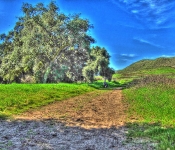
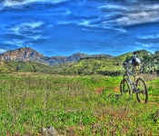
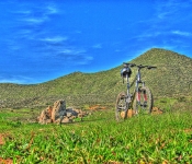
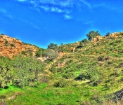
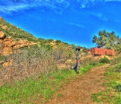
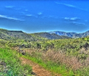
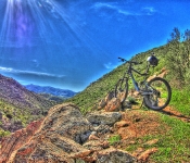
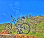
Finally, my first USA ride for 2011. After waiting 4 weeks for a repair, I finally hit the road again. First stop was Caspers Wilderness Park in San Juan Capistrano, California.
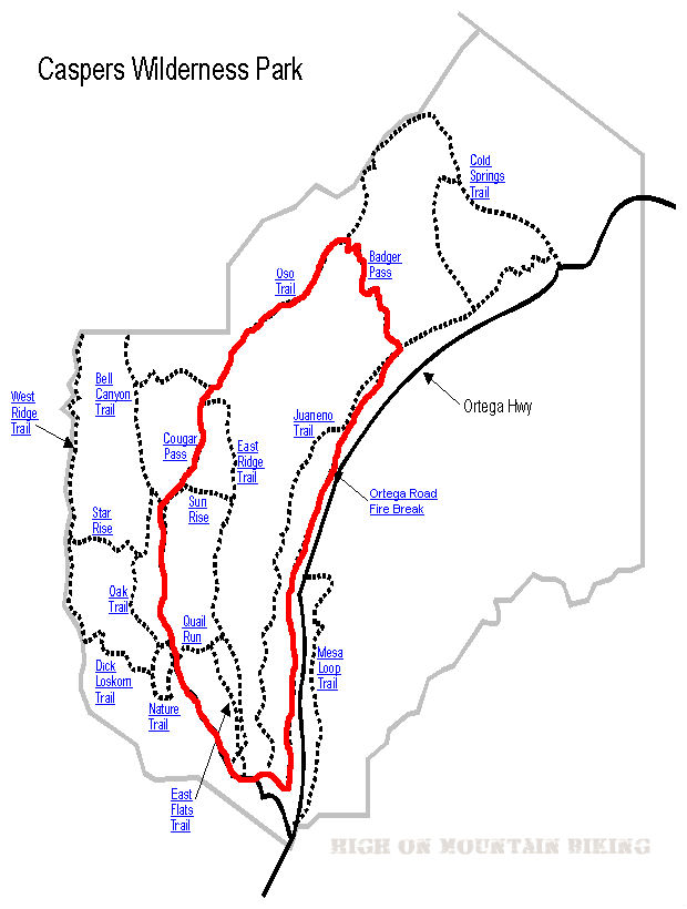
Caspers Wilderness Park Map

.

Trail Stats & Information


Nearby Town : San Juan Capistrano
Length: 9 miles
Trail Type: Loop
Skill Level: [what the books say] no info
Skill Level: [My Opinion] Technically moderate. Physically  demanding
Duration
: My time was 02:23:53
Elev Gain
: 1,166 feet
Top Elev : 1,471 feet
Min. Elev : 371 feet

.

Book Description

I could not find any Mtb Trail books describing the Caspers Wilderness Park Trails, so the below descriptions are based on my personal experience :

>> The Trails I connected were : Bell Canyon Trail, onto Cougar Pass Trail, onto Oso Trail, down Badger Trail and back along the San Juan Creek Trail.
All the trails I took were really fire roads, except Badger which was singletrack. The Bell Canyon Trail is pretty flat and easy going, but once you veer onto  Cougar Pass Trail, it’s a long brutal climb until you reach Badger, then it’s a mental but fun downhill singletrack. Once you’ve recovered from the downhill buzz, it’s a flat but rocky and sandy ride back to the Trailhead along the San Juan Creek Trail.


.

My Experience

I really under estimated this loop, I don’t know why, but I thought it was gonna be an easy relaxing ride, boy was I wrong. The first 10 minutes on the Bell Canyon Trail were what I was expecting, a nice flat easy scenic trail. The trouble started on Cougar, where it starts climbing. The first climb is short but bitter, and I actually made it all the way without stopping.. but when I reached the top I was knackered, and had to sit down for 5 minutes. It wasn’t just the climb, it was the sun and lack of any cover. Once I got back on my steed things went fine until the REAL climb started on the Oso Trail. From here I would guess it’s about a solid 3 mile climb, technically very easy, however physically very demanding!. I ended up walking  quite a bit on this climb. It was HOT! with no cover or shade at all.
To be honest, I had planned to continue to the Cold Springs Trail, and head down that one, but I was burnt out by the time I reached Badger, and although I cannot speak for the Cold Springs Trail, the Badger looked absolutely mental, sweet singletrack heading straight down.
I rested for 10 min. at a lean to at the top of Badger, before heading down. The trail is extremely fast, and certain sections are loose baby heads, and I nearly took a dive, but luckily I made it down in one piece.

Conclusion

All the Trails I did are easy to follow, and the free map from the rangers office is adequate to use. It gets really hot here, so take some sun screen and plenty of fluids.  It’s a long and tiring climb, but the Badger makes it worth your while. Take it easy on the Badger, it’s very fast and there are lots of loose rocks and huge thistles actually on the path. For a quick exit back to the Trailhead you could follow the road, I followed the San Juan Creek Trail back, but it was not much fun at all.


Other Info:

Traffic on Trail : No one, but it can get very busy during weekends
Wild Life : Too tired to notice any wildlife. [ Remember you are in Big Cat Country ]
Scenery : Great scenery
Getting There : from San Juan Capistrano take the Ortega Highway to Caspers Wilderness Park
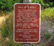
Other : You are in Big Cat Country, both mountain bikers and hikers have been killed here [ read more ]


My Trail Rating : 6.5 / 10 

.


Although 2010 was a fantastic year for me on and off the trails, it was also a year of “crashes”. Luckily for me nothing really serious, but I know that my luck might not last, and just like everyone else, I’m getting older.
In 2010 I managed to break my wrist, break my big toe, break two ribs, crack 2 ribs and crack my sternum.. and of course lot’s of bacon.

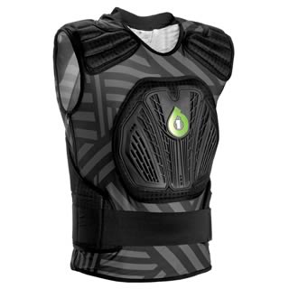
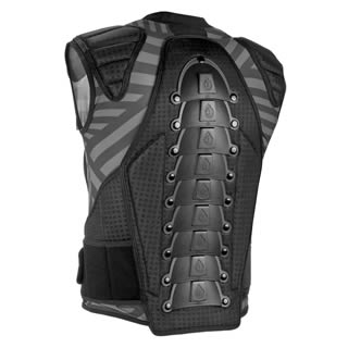
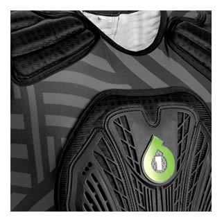
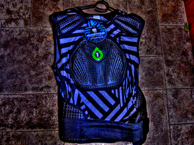
I have big plans for 2011, and have decided to focus a bit more on trail safety, and my first step was to purchase the SixSixOne 2011 Coresaver. I know this layer of protection can’t perform miracles, but at least I have some peace of mind, and it will definitely protect me more than if I did not have it.

It fits nice and snug, and am looking forward to it becoming part of my “uniform” . After I have used it on the trails a good few times, I will post a follow-up about the SixSixOne 2011 Coresaver.

SixSixOne 2011 CoresaverSixSixOne 2011 CoresaverSixSixOne 2011 Coresaver

Articulating armor that is adjustable with removable back protector caps allow for the rider to use the Leatt® brace, while built in shoulder protection and hard capped chest provide a unique middle ground that is not offered by anyone else in the market.

  • Dual density vented EVA impact shoulder pads allow a combination of protection and mobility.
  • Back area has CE-certified injection molded high-impact plastic articulated armor.
  • More lower internal organ coverage than any other suit.
  • Comfortable and adjustable elastic Velcro® waist belt for greater support and stability.
  • Re-designed for 2010 to be compatible with neck braces with lighter chest plate, better fit.
  • Top three armor plates are removable for use with all neck braces.
  • Durable yet comfortable vented mesh main body.
  • No need to refrigerate! Cools itself through evaporation.
  • Vented EVA foam protective under layers keeps you cool.
  • sixsixone 2011 Coresaver

    sixsixone 2011 Coresaver

    .

    Hollenbeck Canyon

    Hollenbeck Canyon offers fantastic and scenic trails for some fun mountain biking

    .

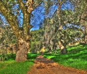
    Hollenbeck Canyon near Jamul, and just 25 minutes east of San Diego offers some fantastic trails through stunning and unique scenery. A seasoned mtb’er can easily put together a fantastic 12-20 miles ( or more) ride, but just exploring all the paths, trails and tracks. From lush green meadows through fantastic shady oak groves to high and open trails with great scenery of the canyon and surroundings

    Hollenbeck Canyon Trail Map.


    Trail Stats & Information

    Nearby Town : Jamul

    Length: You decide : the trail I did was just under 10 miles

    Trail Type: You decide

    Skill Level: [what the books say] no info

    Skill Level: [My Opinion] Technically easy. Physically moderate

    Duration : My time was 02:07:34

     Elev Gain : 1,265 feet

    Top Elev : 1,506 feet

    Min. Elev : 761 feet

    Book Description

    I could not find any Mtb Trail books describing the Highline Trail, because it is not really an “official” trail, so the below descriptions are based on my personal experience :
    >> Hollenbeck Canyon offers some really nice trails, both singletrack and doubletrack among scenery that will come as a pleasant surprise. Lush green pastures, shady oak groves and open trails with great panoramic scenery. Their are tons of options for the mountain biker in the canyon, just explore all the trails and tracks for a great day of mountain biking.

    .

    My Experience

    Hollenbeck Canyon came as a complete but pleasant surprise to me. The scenery from the trailhead is quite unique and different from what you might expect. I was lucky that I met 2 fellow mountain bikers at the trailhead, they had just returned from their ride, and I was able to get some very useful info on what trails to take. Even though it was January, it was hot!!, and I can only imagine how unbearable it would be in the summer.

    The loop I did was very enjoyable and pretty easy going, even the climb was not too bad, but I did notice that I was drinking more than I normally do, due to the heat. The trails were compact dirt tracks, and pretty fast flowing through fantastic scenery. There are numerous very fast singletrack downhill sections, that require full concentration, because of some gnarly ruts and loose rocks on the trail.


    Conclusion
    Definitely worth riding, Hollenbeck Canyon offers some fantastic trails with unique scenery. Next time I’m in the area I will definitely spend more time exploring these trails.
    .

    Other Info:

    Traffic on Trail : Although the trail head was fairly busy, I did not see many people on the trails

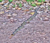
    Wild Life : Snake and plenty of buzzards

    Scenery : Great scenery, pretty unique for this area

    Getting There : Hollenbeck Canyon Trailhead : the trailhead is just off Campo Rd ( CA94) on Honey Springs Rd

    Other : Take lots of fluids, in January it was hot, so just imagine what the summers must be like.


    My Trail Rating : 8 / 10

    .


    .